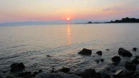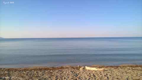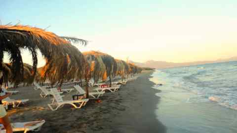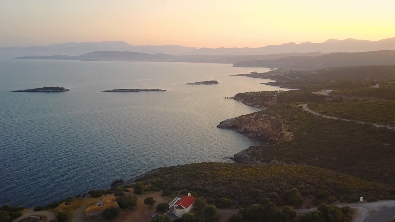
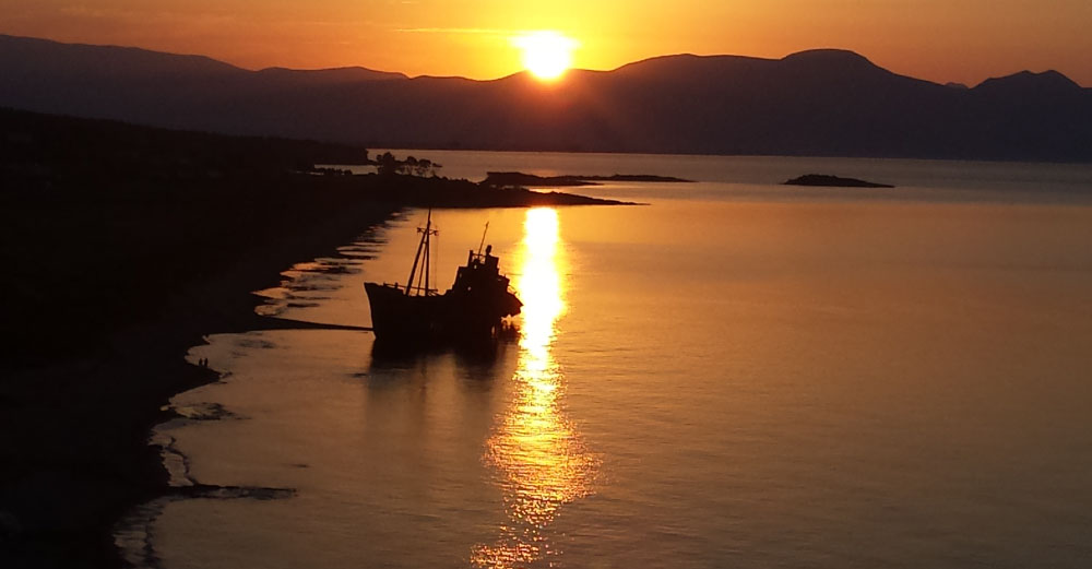


The Municipality of Evrotas is located in the southern part of the Prefecture of Laconia in the Peloponnese. It borders northwest with the Municipality of Sparta, southwest with the Municipality of East Mani and southeast with the Municipality of Monemvasia, while on the south side is surrounded by the Laconian Gulf. The area of the Municipality of Evrotas is 654,3 km2, the length of the coasts is 17 km and its population reaches 17,755 inhabitants. The Municipality consists of numerous villages and its seat is Skala, which is 254 km from Athens and 41,5 km from Sparta.
Area
654,3
Sq. klm
Population
17.755
Residents
Sea
17 klm
of Coast
Communities
27
2 M.C. & 25 L.C.
The Municipality was named after the Evrotas River, which crosses the whole area and flows into the Laconian Gulf. The rich natural environment created by the river offers an excellent variety of flora and fauna. The fertile plain combined with the Mediterranean climate of the region contribute to the rich production of agricultural products. Basic crops are olive and citrus fruits. In the area of ??Skala and the surrounding areas, the main source of production of oranges Valencia in Greece, outdoor horticulture and greenhouse grows, while in the mountainous parts of the Municipality the livestock farming and the cultivation of Kalamos olives flourish.
Citrus
150.000
tones annual production
Olive Oil
20.000
tones annual production
Vegetables
25.000
tones annual production
Olives
17.000
tones annual production
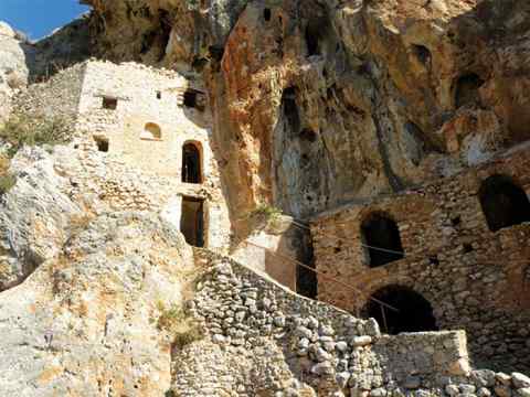
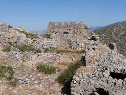
The history of the Municipality begins with finds of the Neolithic period, passes through all the seasons and presents a distinct acne during the Byzantine era, giving us remarkably visited monuments, which have survived over the years. Some of them are Akraia, Gerakion Castle, Palaiomonastero, Cave of Eggs.